Forest-loss alert
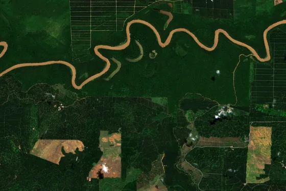
Every day, IMPAKLens compares new Sentinel-2 imagery (10 m detail) with the project’s recent past and flags where tree cover has gone, so you can act before the next site visit.
IMPAKLens
Satellite checks built for Malaysian forests: forest loss, fire, land cover and carbon, on every project.
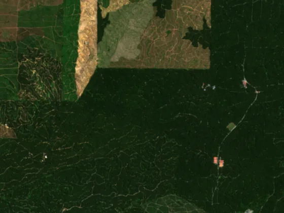
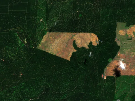
Every day, IMPAKLens compares new Sentinel-2 imagery (10 m detail) with the project’s recent past and flags where tree cover has gone, so you can act before the next site visit.
Fire hotspots from NASA FIRMS are checked against every project boundary each day. A hotspot on your land shows up on the project record, with where and when it was seen.
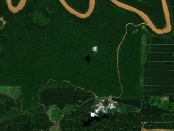
Every project shows its land cover from the Malaysia LULC 2024 map, so sponsors and verifiers know what is forest, what is plantation and what is water before anyone visits.
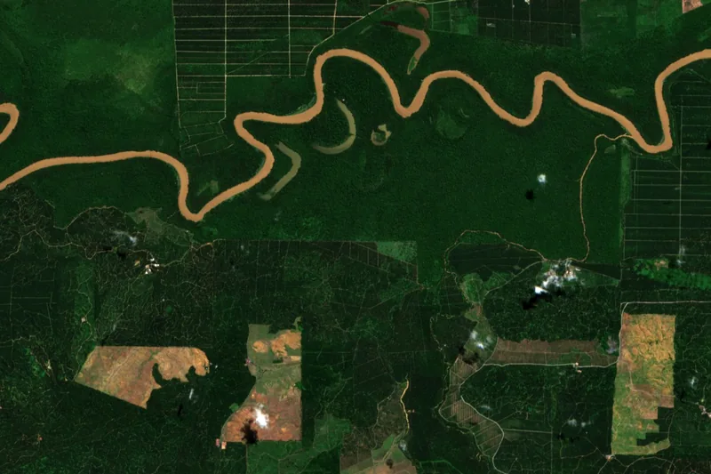
A carbon estimate for each project, worked out from its land cover, so you can compare projects and report on the forest you help protect.
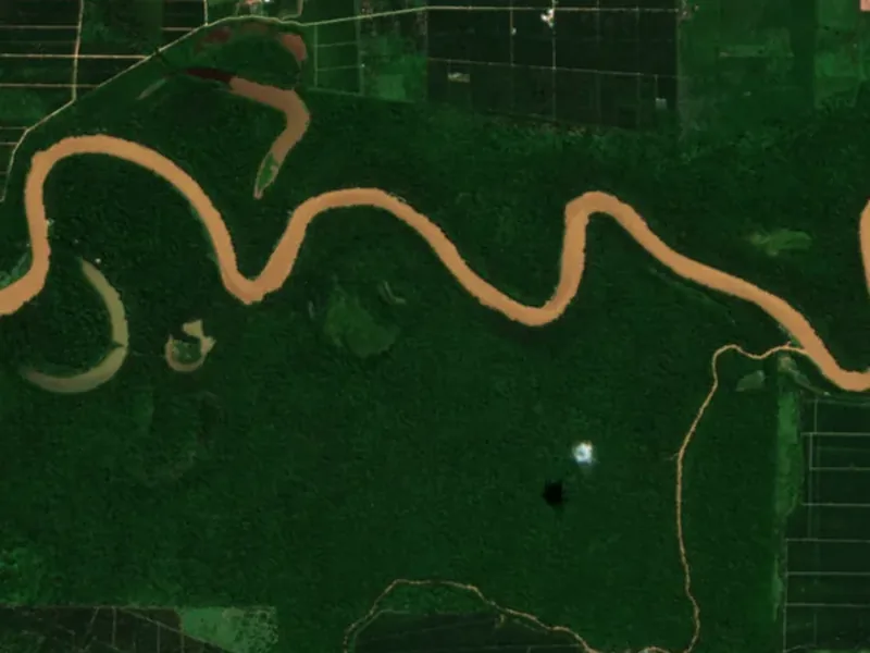
Want satellite checks on your own land, or on a project you fund?
Get in touch